Research
In the DYCE lab, we use remote sensing, machine learning, and field work to study the impacts of climate change on ecosystem function and carbon dynamics across a range of spatial and temporal scales. We focus on two main research questions:
How have climate change, disturbance, and human activity reshaped terrestrial ecosystems?
How do these changes impact the carbon cycle?
We are interested in understanding how ecosystem structure, composition, and function are altered by climate change and wildfires. We specialize in mapping changes in plant functional type distributions, carbon stocks and fluxes, and microclimate at city-to-continent scales. Research topics focus on climate-sensitive systems, including:
-
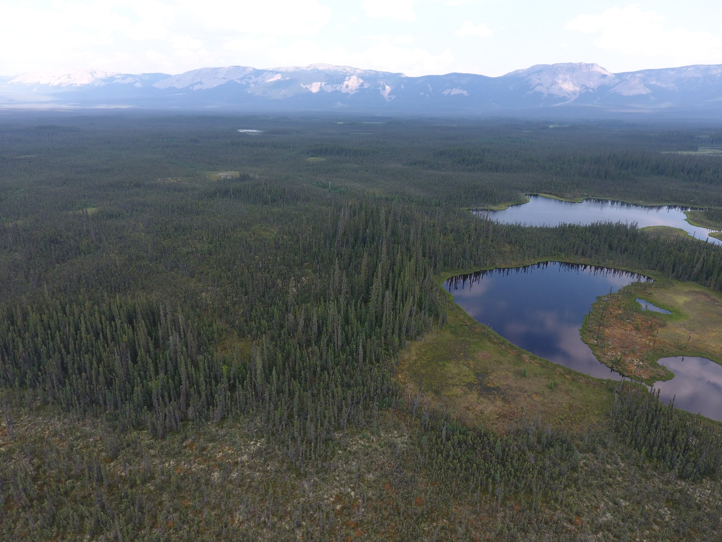
Arctic-Boreal Ecology
Northern high latitudes are the fastest warming biome, and is apparently “greening” in response. Using machine learning and satellite data, we ask: How do wildfires impact these potential carbon gains? Is a biome shift from evergreen forests occurring?
-
Drought, wildfire, and vegetation in the western US
The western U.S. is experiencing more intense droughts and wildfires. Using drones, aircraft, and satellite- based sensors, we ask: How is drought leading to tree mortality? What role does woody plant encroachment play in western U.S. carbon dynamics? Can forests recover from fire in this new climate?

-
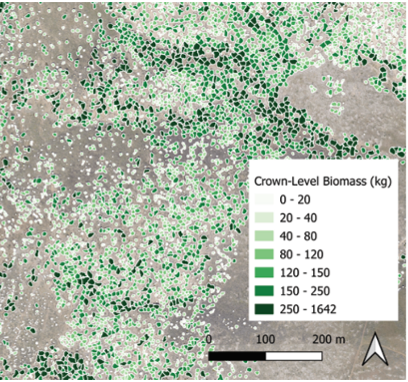
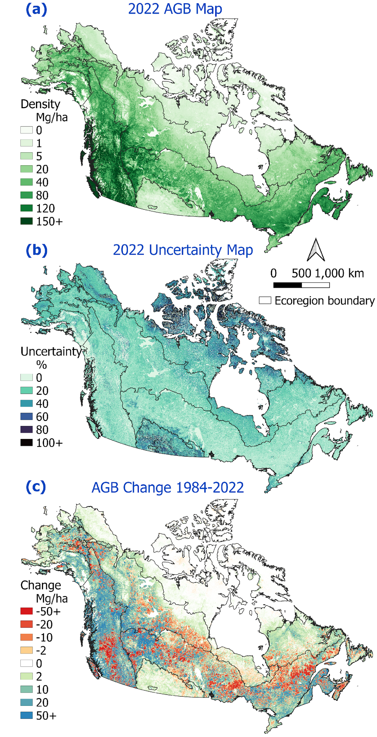
Aboveground Biomass Mapping
Satellite-based maps of aboveground biomass are increasingly important tools in global ecology. Using airborne and satellite data and statistical modeling, we ask: How do we understand their accuracy? What ecosystems are underrepresented in carbon budgets?